GIS
Your Goal: Real-Time Visualization of Assets
When your city owns thousands of assets, it takes tight coordination to keep everything in working order. Your field teams juggle a never-ending list of work orders, visual reports and maintenance tasks—plus occasional emergency repairs. To stay efficient, they must locate assets quickly, view their condition, establish their rating, enter work orders on demand, and upload reports in real-time.
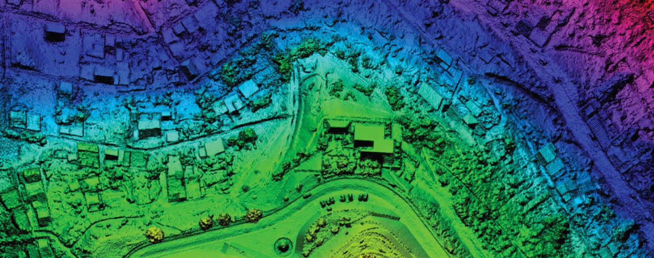
It’s all possible with geographic information system (GIS) integration. With a GIS-centric asset management system, your field teams can access critical geographic data instantly. They can see patterns, trends and relationships that prevent small problems from becoming larger issues. They can also use visual mapping to better plan their work routes, avoid wasted trips to the office, and maximize daily productivity.
Your Challenge: Inefficient Field Work
Without GIS visibility, it can be tough for field workers to locate assets for their work orders—or to have all necessary information at their fingertips to do the work. A GIS-centric asset management system drives efficiency by speeding-up inspections, mapping issues, and identifying opportunities for preventive maintenance, all of which can save your city money in the long run.
What is a GIS-centric asset management system?
GIS integration provides instant synchronization between your GIS database and MaintStar’s database. You no longer need to maintain two databases.
Benefits of GIS Capabilities:
- Maximize the use of your GIS database by integrating it with our software
- Maintain fewer databases with our GIS-centric solution (GIS and MaintStar database working as one)
- Enable field teams to easily access information
- Get more detailed reporting for your assets
- Easily cut and paste assets from the map to create work orders
- Track technicians on the map with GPS
- Give staff members more time to work on other things
- View asset ratings and costs
- Identify preventive maintenance needs
- Conduct Closed Circuit TV (CCTV) inspections
- Determine locations of potential infrastructure risks
- View permits, inspections and code enforcement cases
- Manage historical areas
- Map new subdivisions
- Visualize other critical data
Possible Data Layers:
- Vertical (buildings, signs)
- Linear (streets, lines)
- Utilities
- Other assets
- Parcels
- Addresses
- Flood zones
- Other zoning information
Software Highlights: Integrated GIS-Centric Management System
MaintStar GIS-centric management system works seamlessly with MaintStar’s Enterprise Asset Management Software (EAMS) and Land Management Software (LMS). Managing your land and infrastructure assets is faster and easier with our:
- Integrated GIS-centric capabilities: Field teams can view GIS data, aerial imagery, asset location information and online web maps with ease.
- Easy additions: Newly discovered field assets can be automatically added by field technicians.
- Simple updates: Any attributes of existing assets can be edited in the field and instantly updated to the GIS database.